Rest Area Monitoring Program - NSW
Client: Transport for NSW
The Challenge
Heavy vehicle rest areas along major NSW freight corridors needed assessment to understand usage patterns, capacity constraints, and safety risks. Traditional manual surveys provided only snapshots of activity, missing the continuous patterns of use that inform infrastructure planning and safety improvements.
Our Solution
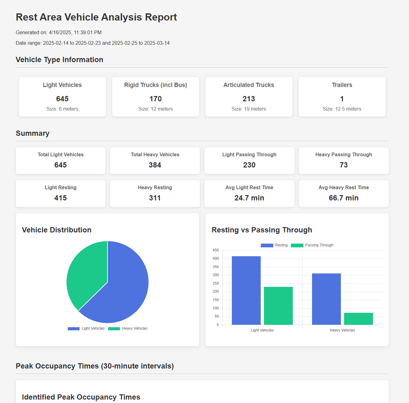
Real Time Traffic deployed monitoring technology at rest areas along key NSW freight corridors to continuously capture vehicle usage patterns, dwell times, capacity utilisation, and safety-related behaviours. The data provides transport planners with comprehensive insights into how rest areas function in practice.
Implementation Details:
- Camera deployment at priority rest areas along freight corridors
- Continuous vehicle counting, classification, and dwell time measurement
- Capacity utilisation analysis across time periods
- Heavy vehicle vs light vehicle usage pattern analysis
- Safety behaviour monitoring at entry and exit points
Current/Completed Deployment Sites:
- Almond and Picton Road
- School Crossings Near Bidwill and Brookvale Public Schools
- Valla Beach Road
- Enmore Rd & King St, Newtown NSW
- Elizabeth Street and Foveaux Street, Surry Hills
- Mount Ousley Road/Princes Motorway NSW
Results
Long-term Impact
Providing Transport for NSW with continuous, objective data on rest area usage to inform infrastructure investment, capacity planning, and heavy vehicle safety policy
Interested in Similar Results?
Let's discuss how Realite can address your road safety challenges.